Montrésor, John. A map of the sources of the Chaudière, Penobscot, and Kennebec rivers. [?, 1761] Map.

Montrésor, John. A map of the sources of the Chaudière, Penobscot, and Kennebec rivers. [?, 1761] Map.

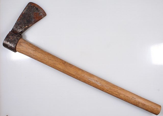
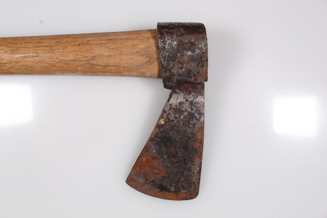
Ax with intact wood handle. Two small stamps on one side of the ax near handle socket. Object ID 2017.B.64.1016. Courtesy of The Fort Ticonderoga Museum Collection.

Ax with intact wood handle. Two small stamps on one side of the ax near handle socket. Object ID 2017.B.64.1016. Courtesy of The Fort Ticonderoga Museum Collection.

Ax with intact wood handle. Two small stamps on one side of the ax near handle socket. Object ID 2017.B.64.1016. Courtesy of The Fort Ticonderoga Museum Collection.

Ax with intact wood handle. Two small stamps on one side of the ax near handle socket. Object ID 2017.B.64.1016. Courtesy of The Fort Ticonderoga Museum Collection.

After hauling their battered batteaux over some thirty miles of marshy terrain, Arnold’s force reached a series of steep falls at a mountain spine known as the Height of Land which made their previous portages seem easy in comparison.

"As the number of falls increased, the water became consequently more rapid. The heights of land upon each side of the river which had hitherto been inconsiderable, now became prodigiously mountainous, closing as it were up the river with an aspect of an immense length. The river was now become very narrow, and such a horrid current as rendered it impossible to proceed in any other method than by hauling the batteaux up by the bushes, painters, &c."

Dr. Isaac Senter, in his journal, 24 October 1775
Sources
  • Senter, Isaac The Journal of Isaac Senter, Physician and Surgeon to the Troops Detached from the American Army Encamped at Cambridge, Mass., on a Secret Expedition against Quebec, under the Command of Col. Benedict Arnold, in September 1775. (Philadelphia: The Historical Society of Pennsylvania, 1846), p. 26.